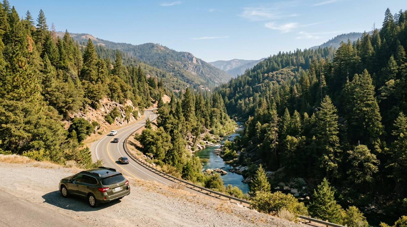
State Route 49 through Sierra County is one of the most memorable mountain drives in Northern California. The highway follows the North Yuba River through forested canyon country, passes historic communities including Goodyears Bar, Downieville, and Sierra City, then climbs toward Yuba Pass before opening into the broader landscapes of eastern Sierra County. The route combines river views, Gold Rush history, trail access, local food, lodging, and connections to the Sierra Buttes and Lakes Basin.
It is also a rural mountain highway rather than a fast sightseeing loop. Curves, elevation changes, rockfall risk, winter weather, wildfire activity, road work, cyclists, wildlife, and limited roadside services can affect the trip. Visitors should plan their stops before leaving, avoid using unverified back roads as detours, and check official highway information immediately before departure.
Use this guide to organize a west-to-east drive, choose community stops, and prepare for seasonal conditions. For live closures, chain controls, incidents, cameras, and highway messages, check Caltrans QuickMap. Pair that information with the site’s Road and Seasonal Conditions guide and Getting Around page.
How to Plan a Highway 49 Road Trip Through Sierra County
The best Highway 49 trip is built around a few meaningful stops rather than constant pulling over. The Sierra County portion of the route is officially recognized by Caltrans as a scenic highway and is valued for its river corridor, forest views, historic mining communities, and mountain panoramas. Downieville sits near the middle of the scenic drive, while Sierra City is approximately twelve miles farther east and Yuba Pass marks the transition toward the open valleys beyond the high country.
Allow more time than a navigation application suggests. A short distance can take longer when traffic is controlled through road work, visitors stop in town, bicycles share the route, or weather changes near the summit. Plan fuel, meals, restrooms, and daylight before entering the most rural sections.
Understand the Route Before You Start Driving
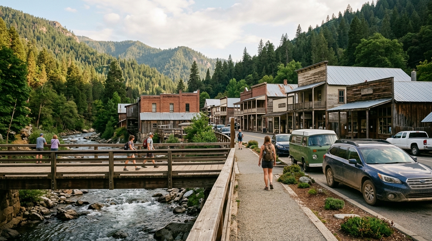
Drivers approaching from the west enter a narrow North Yuba River corridor before reaching Goodyears Bar and Downieville. The road runs close to steep slopes and the river in places, so there may be few safe opportunities to stop. Continue to a designated pullout, day-use area, business, or community parking location rather than slowing suddenly for a photograph.
After Downieville, Highway 49 continues east toward Sierra City, Bassetts, and Yuba Pass. This portion provides access to Sierra Buttes viewpoints, trailheads, campgrounds, and roads leading toward the Lakes Basin region. Drivers continuing beyond the pass can connect toward the State Route 89 junction near Sattley and the communities of Sierra Valley.
West County: Goodyears Bar and Downieville
Goodyears Bar is a small historic community along the North Yuba corridor. It is better treated as a quiet community stop than as a large visitor center. Respect residential access, private property, and posted parking rules. Nearby river and forest destinations should be confirmed through the responsible land manager before leaving the highway.
Downieville is the county seat and the most practical western stop for food, lodging, historic-town exploration, and outdoor recreation services. Park legally and explore on foot rather than repeatedly moving the vehicle through the compact town center. The confluence of the Downie and North Yuba rivers, historic buildings, bridges, and surrounding mountain slopes create the town’s distinctive setting.
Use the Downieville community guide to identify appropriate stops and the Restaurants and Cafés directory to verify current dining options. Business hours can be seasonal, and event weekends may produce longer waits or temporary parking controls.
High Country: Sierra City, Bassetts, and Yuba Pass
Sierra City provides a second major community stop. The town works well for lunch, lodging, local history, and access to the Sierra Buttes and nearby recreation. Travelers should separate confirmed public trailheads and campgrounds from private roads or informal roadside tracks. Use the Sierra City guide and Parks and Outdoors hub when planning activities.
East of Sierra City, the highway climbs through higher-elevation forest toward Bassetts and Yuba Pass. Weather can differ sharply from conditions in Downieville. A warm canyon afternoon does not guarantee dry pavement, good visibility, or mild temperatures near the summit. Check current weather and road information rather than assuming the entire drive shares one forecast.
Yuba Pass is a natural transition point. Westbound views emphasize rugged peaks and the descending river corridor, while travel east leads toward broader agricultural and high-desert-influenced landscapes. Stop only at lawful, developed locations with enough space to leave the travel lane completely.
Choose Stops That Support the Trip Instead of Delaying It
A practical day trip might begin with breakfast or supplies before the canyon, continue to Downieville for a walk and early lunch, then move east to Sierra City for a short community or outdoor stop before crossing Yuba Pass. Travelers staying overnight can divide the route into two days and spend more time hiking, visiting historic sites, fishing, or exploring Lakes Basin.
Avoid trying to combine every trail, lake, museum, river access point, and town in one day. Mountain travel becomes less enjoyable when the schedule depends on perfect parking, instant meals, and no road delays. Select one primary activity and treat the remaining stops as flexible.
Food, Fuel, Lodging, and Electric-Vehicle Planning
Services are limited compared with larger California travel corridors. Confirm fuel availability and business hours before entering the county, especially during evenings, shoulder seasons, and holidays. Keep the fuel tank comfortably above empty and carry drinking water, food, warm layers, a flashlight, and basic emergency supplies.
Sierra County advises that publicly accessible electric-vehicle charging remains very limited. Electric-vehicle drivers should identify confirmed charging locations before the trip, account for elevation and temperature effects on range, and maintain enough reserve to reach an alternative station if the planned charger is unavailable.
Book lodging in advance during summer weekends, fall-color periods, cycling events, and holidays. Browse the Lodging directory and contact the property directly to confirm check-in procedures, parking, pet policies, and seasonal operation. Do not depend on arriving late and finding an unlisted vacancy in a small community.
How to Drive Highway 49 Safely in Every Season
Highway 49 conditions can change quickly. Summer may bring construction, smoke, wildfire response, heat, cyclists, and busy recreation weekends. Autumn can bring cold mornings and early storms. Winter and spring may involve snow, ice, chain controls, falling rocks, flooding, or storm damage. Current official instructions always take priority over an evergreen travel article.
Use Official Conditions and Avoid Dangerous GPS Detours
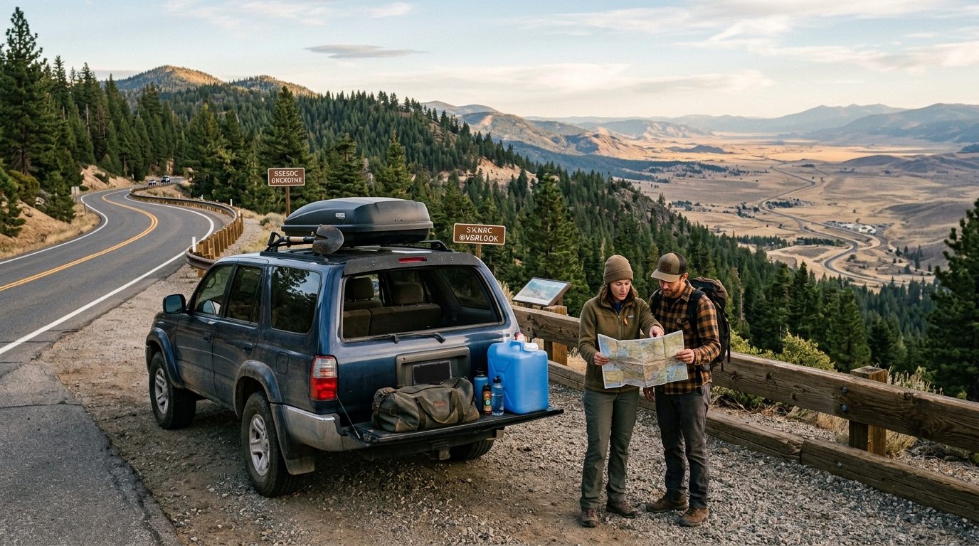
Sierra County explicitly warns travelers not to rely on GPS or internet maps for alternate routes around closures. A mapping application may direct drivers onto an unmaintained forest road, seasonal route, private road, or snow-covered back road. During winter, the Sheriff’s Office advises travelers to remain on Highway 49 or Highway 89 rather than following questionable shortcuts.
Caltrans QuickMap provides real-time layers for lane closures, full closures, incidents, cameras, highway messages, chain controls, and snowplow locations. Check it before departure and again at a safe stop if conditions appear to be changing. Never hold or operate a phone while driving.
Chain Controls, Pullouts, Wildlife, and Emergency Readiness
When chain controls are posted, follow the signs and instructions from Caltrans or the California Highway Patrol. Four-wheel drive does not eliminate every chain requirement; under some control levels, drivers with four-wheel or all-wheel drive must still carry traction devices. Install chains only after pulling completely out of the traffic lane at an appropriate location.
Drive at a speed suitable for visibility, pavement, curves, and traffic, even when that means traveling below the posted maximum. Leave extra following distance, use turnouts when safe to allow faster traffic to pass, and watch for bicycles, motorcycles, pedestrians, snow equipment, emergency vehicles, and animals.
Do not park on dry grass, block gates, stop on bridges, or stand in the roadway for photography. If smoke, snow, flooding, debris, or emergency activity makes the trip uncertain, turn around at a safe location rather than forcing the itinerary.
Download maps, share the route with someone, and carry enough supplies to wait safely through a delay. Mobile coverage can be inconsistent, so keep important addresses and contact information available offline. In an emergency, call 911 when service is available and follow instructions from responders.
Highway 49 is rewarding because it reveals Sierra County gradually: river canyon, historic town, high-country forest, mountain pass, and open valley. The drive deserves time, patience, and accurate planning. Check live conditions, choose a small number of stops, support local businesses, and avoid unofficial detours. Continue building the trip through the Trip Planning hub, Responsible Travel guide, and Visitor Services directory.