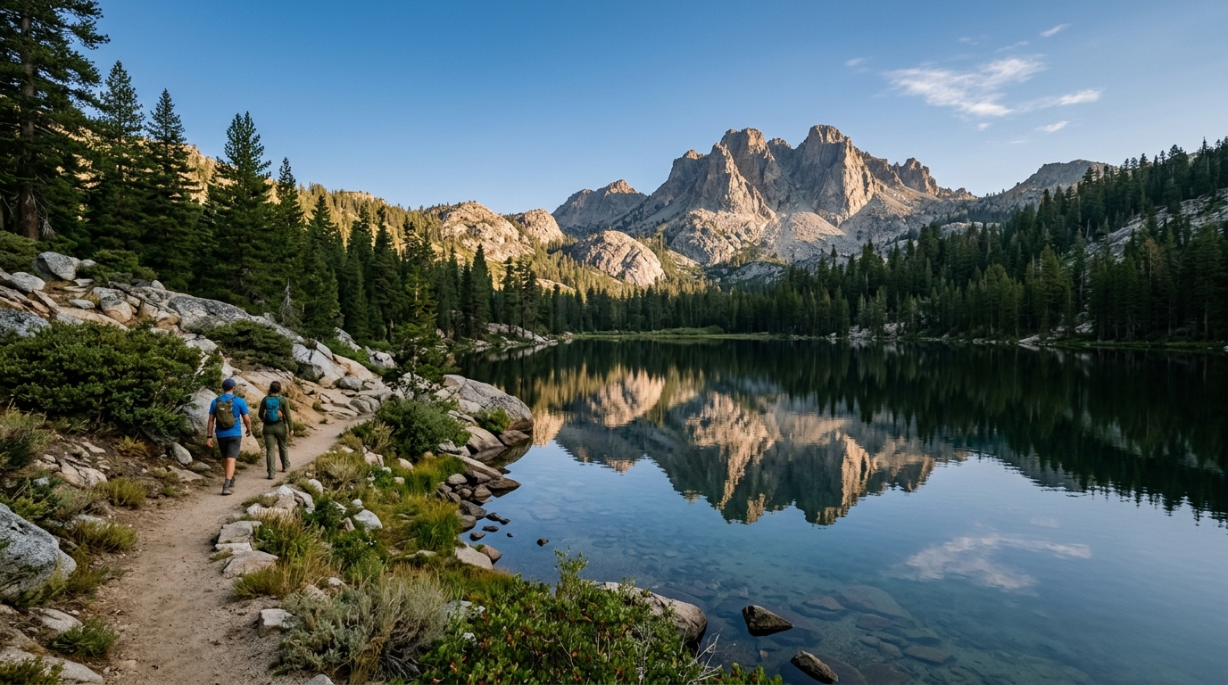
Late summer is one of the most practical times to explore Sierra City and the Lakes Basin region. High-country roads and trailheads are generally easier to reach than during the snow season, lakes are open for paddling and fishing where permitted, and the long daylight hours make it possible to combine a short hike with time in town. Late summer can also bring heat, smoke, dry vegetation, afternoon wind, and changing fire restrictions.
This is also a region where names and boundaries can be confusing. Sierra City is in Sierra County and is surrounded by Tahoe National Forest. The broader Lakes Basin Recreation Area extends north of the Sierra Buttes and includes destinations managed by both Tahoe and Plumas national forests; some well-known lakes and campgrounds are outside Sierra County. Treat the trip as a connected high-country region while checking the correct agency for each road, campground, trail, and restriction.
Use this guide to choose a realistic base, match activities to your group, and avoid relying on assumptions about water, fires, parking, or mobile service. Before departure, review the Tahoe National Forest current-conditions page, check individual campground notices, and visit the site’s Road and Seasonal Conditions guide.
Plan a Late-Summer Trip Around Sierra City and Lakes Basin
A successful weekend begins with a simple decision: do you want a town-based stay with easier access to meals and lodging, a developed campground, or a more remote outdoor experience? These options are close on a map but provide very different levels of comfort. Choose the base first, then build a realistic schedule around it.
Choose a Base That Matches Your Trip
Sierra City works well for travelers who want a historic mountain-town setting and a central starting point for the North Yuba River corridor, Sierra Buttes views, nearby trail access, and drives toward Lakes Basin. Staying in or near town also makes it easier to support local cafés, lodging properties, stores, and visitor services. Browse the Sierra City community guide, Lodging directory, and Restaurants and Cafés directory before making plans.
Sierra City, Wild Plum, and Nearby Campground Options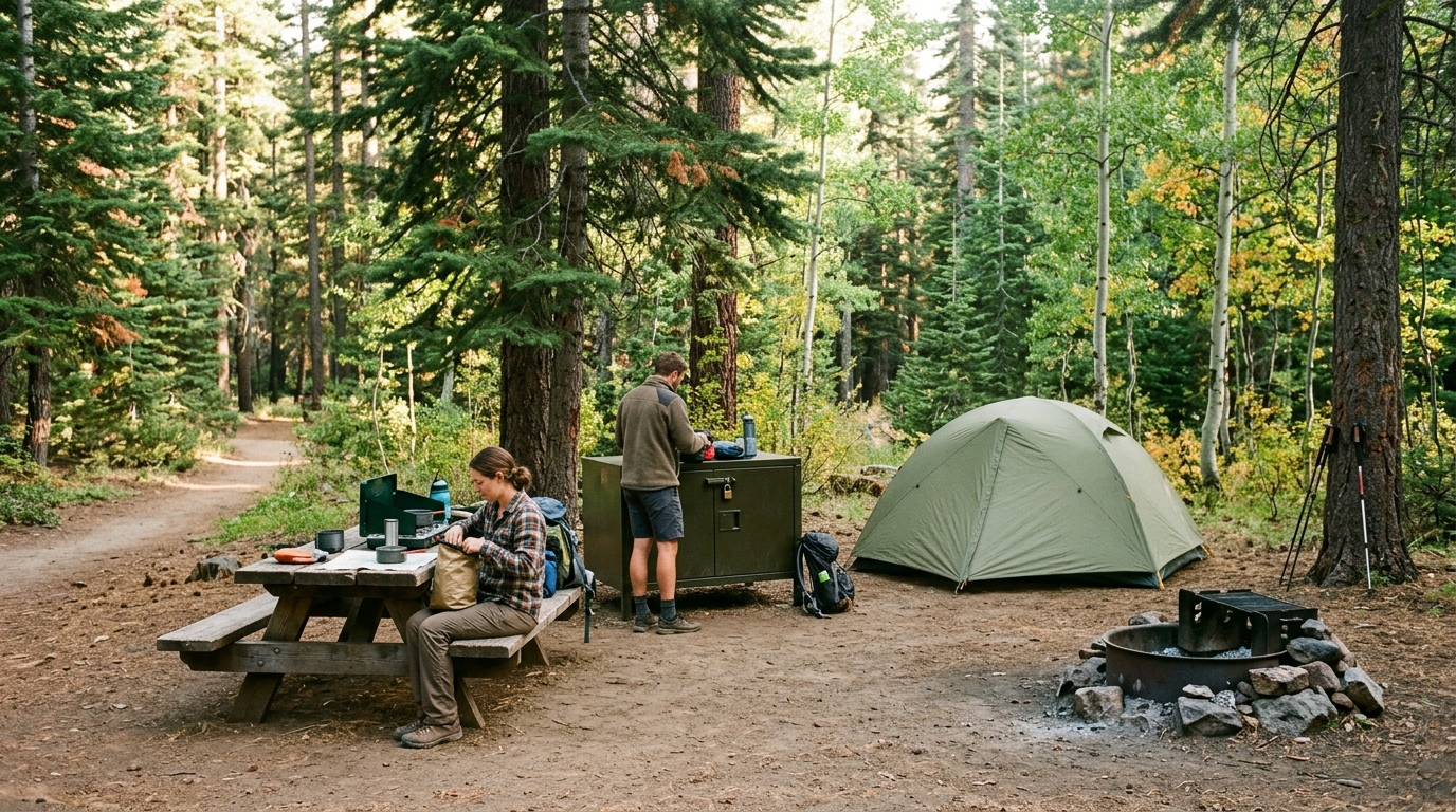
Wild Plum Campground is about a mile east of Sierra City in Tahoe National Forest. Its official listing describes shaded sites near Haypress Creek and access to the Wild Plum Loop Trail, which connects with the Pacific Crest Trail and Haypress Trail. Sierra Campground sits farther east along the North Yuba River between Sierra City and Yuba Pass and offers tent-only sites with picnic tables, fire rings, and vault toilets.
Campgrounds closer to Packer Lake, Sardine Lakes, and Gold Lake place visitors nearer the heart of the broader Lakes Basin recreation network. However, not every campground has the same water, restroom, trash, road-access, or reservation arrangements. Lakes Basin Campground in Plumas National Forest provides drinking water, vault toilets, and trash collection during its regular operating setup, but its listing warns that dry camping generally begins after mid-September. Conditions and service dates can change, so verify them for the exact dates of your stay.
Gold Lake 4×4 Campground, for example, is reached by a rough boulder-strewn route and is not recommended for ordinary passenger vehicles. It also lacks utilities, potable water, trash service, and restrooms, requiring campers to pack out sanitation waste. It suits only prepared visitors with capable vehicles and a complete waste plan.
Pick Activities Based on Conditions and Ability
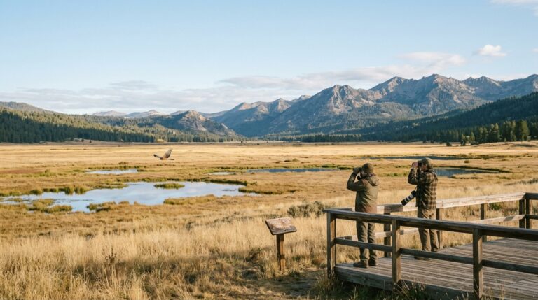
The area supports hiking, fishing, swimming, paddling, boating, cycling, horseback riding, camping, wildlife viewing, and scenic driving. Choose based on current weather, smoke, trail status, water conditions, parking, daylight, and the least-experienced member of the group.
Lakes, Fishing, Swimming, and Small-Watercraft Planning
Official recreation information describes more than 20 glacial lakes across the broader Lakes Basin landscape. Upper and Lower Sardine Lakes, Packer Lake, and Gold Lake are among the most recognized destinations, but each has different access and facilities. Gold Lake has a developed boat-launch facility, while the Gold Lake Dam day-use area has a hand-launch ramp more suitable for small watercraft.
Do not assume that every lake has a staffed beach, lifeguard, dock, drinking water, or reliable phone service. Alpine water can remain cold even when the air feels hot, and wind can build quickly during the afternoon. Wear a properly fitted personal flotation device when paddling, keep children within direct reach near shore, and turn around early if whitecaps, smoke, or thunderclouds develop.
Anglers age 16 or older generally need a valid California sport-fishing license, and seasons, limits, gear rules, and special regulations can vary by water. Check the current California Department of Fish and Wildlife rules instead of relying on an old photo, forum post, or campground conversation. Clean equipment between waters and never move live fish, plants, bait, or water from one lake to another.
Hiking, Sierra Buttes Views, and Pacific Crest Trail Access
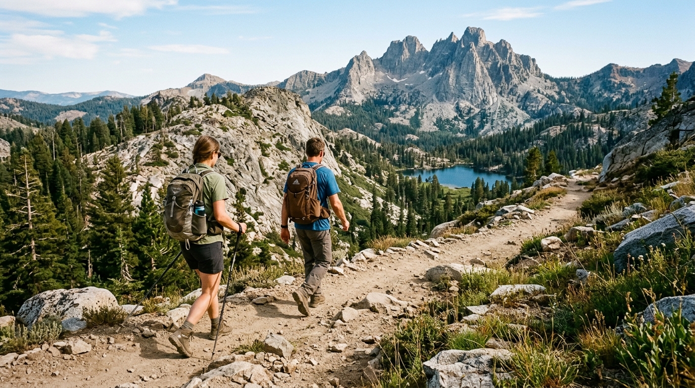
The Sierra Buttes dominate the region visually, but not every visitor needs to attempt a long or exposed summit route. Shorter walks and viewpoints may better suit families or travelers adjusting to elevation. Official campground pages describe more than 30 miles of maintained trails in the wider area, with access points for the Pacific Crest Trail near Sierra City, Wild Plum, Yuba Pass, and Lakes Basin.
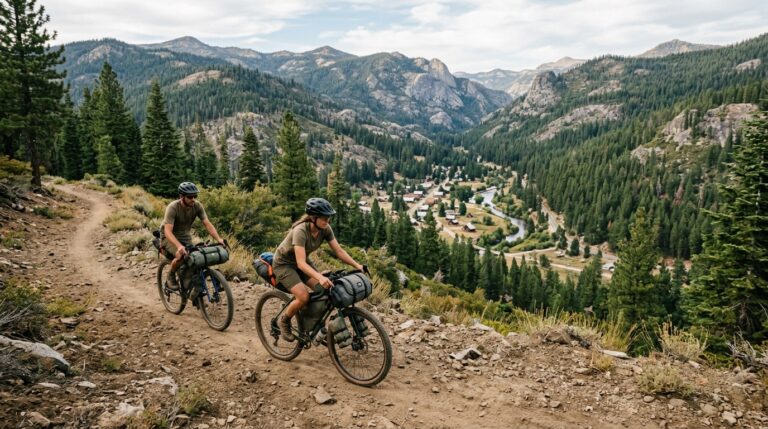
The Pacific Crest Trail is open to hiking and horseback riding, not bicycles or motorized vehicles. Nearby routes may have different use designations, so look for the rules that apply to the specific trail rather than assuming the entire network is managed the same way. Mountain bikers should remain on routes where bicycles are allowed and yield appropriately to hikers and equestrians.
Carry an offline map, water, food, sun protection, warm layers, a headlamp, and basic first aid even for a short outing. Forest Service hiking guidance recommends staying on marked trails, leaving an itinerary with someone, developing an emergency plan, and allowing the slowest person to set the pace. Cellular service may be inconsistent, and late-summer daylight should not be treated as unlimited.
Camp and Travel Responsibly in the High Country
Late summer is when small choices have the greatest effect. Dry vegetation increases fire concern, popular lake shores show the pressure of repeated use, and campgrounds may operate with reduced services as the season changes. Responsible travel shapes every parking decision, hike, camp setup, and lake visit.
Confirm Rules, Carry Essentials, and Leave the Area Better
Check both Tahoe National Forest and Plumas National Forest alerts when your route crosses management boundaries. A restriction issued by one forest does not automatically describe conditions everywhere else. Closures may affect only one road, trail, or campground.
Fire Rules, Food Storage, Waste, and Community Courtesy
Never assume a campsite fire ring means a wood or charcoal fire is currently permitted. Late-summer restrictions can change with fuel conditions, weather, and firefighting capacity. Confirm the current forest order, carry an approved alternative cooking method when allowed, and extinguish any permitted fire until it is cold to the touch.
Bears, raccoons, and other wildlife are attracted to food, toiletries, trash, cooking equipment, and scented items. Use provided bear lockers or approved storage systems, keep a clean campsite, and never leave food unattended. Packing out trash is mandatory where service is unavailable and is a sensible backup everywhere when bins are full.
Stay within developed campsites where required, avoid creating new fire rings, and do not drive or park on fragile vegetation. Use established toilets where available. In locations without sanitation facilities, follow the site-specific waste instructions rather than improvising near water, camps, or trails. Leave rocks, historic remains, plants, and cultural materials where they are.
Sierra City
Sierra City and nearby communities have small workforces and limited supplies. Confirm hours, fuel availability, and meal options before depending on a single business. Be patient when restaurants are busy, avoid blocking residential access, and keep noise controlled around homes and lodging. The Responsible Travel guide and Getting Around page provide additional planning help.
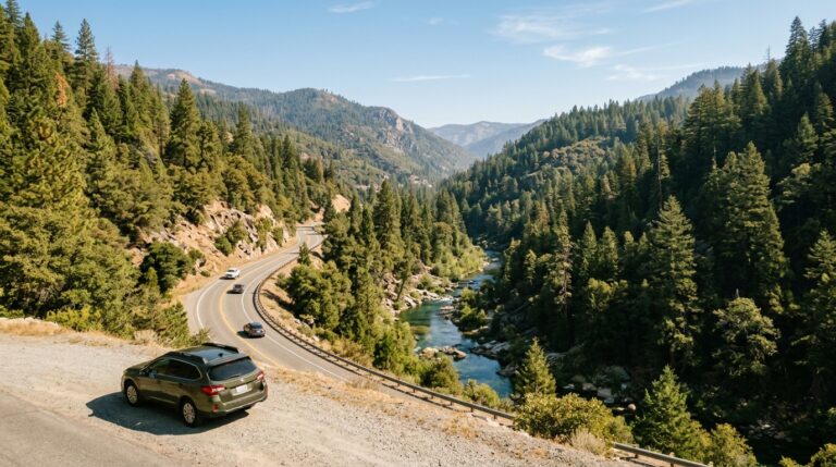
A balanced two-day visit might include an early morning lake or trail outing, lunch and time in Sierra City, and a quieter afternoon viewpoint rather than constant driving. On the second day, choose one additional activity that fits current conditions, then leave enough time to pack, clean the campsite, and travel Highway 49 before dark.
Sierra City and Lakes Basin reward travelers who slow down. The region’s value comes from its glacial lakes, forest corridors, rugged peaks, historic communities, and relative quiet—not from checking off the greatest number of stops. Verify access, choose appropriate activities, carry what you need, and protect the places that made the trip worthwhile. Continue planning through the Parks and Outdoors hub, Camping Guide, and Sierra County Trip Planning page.