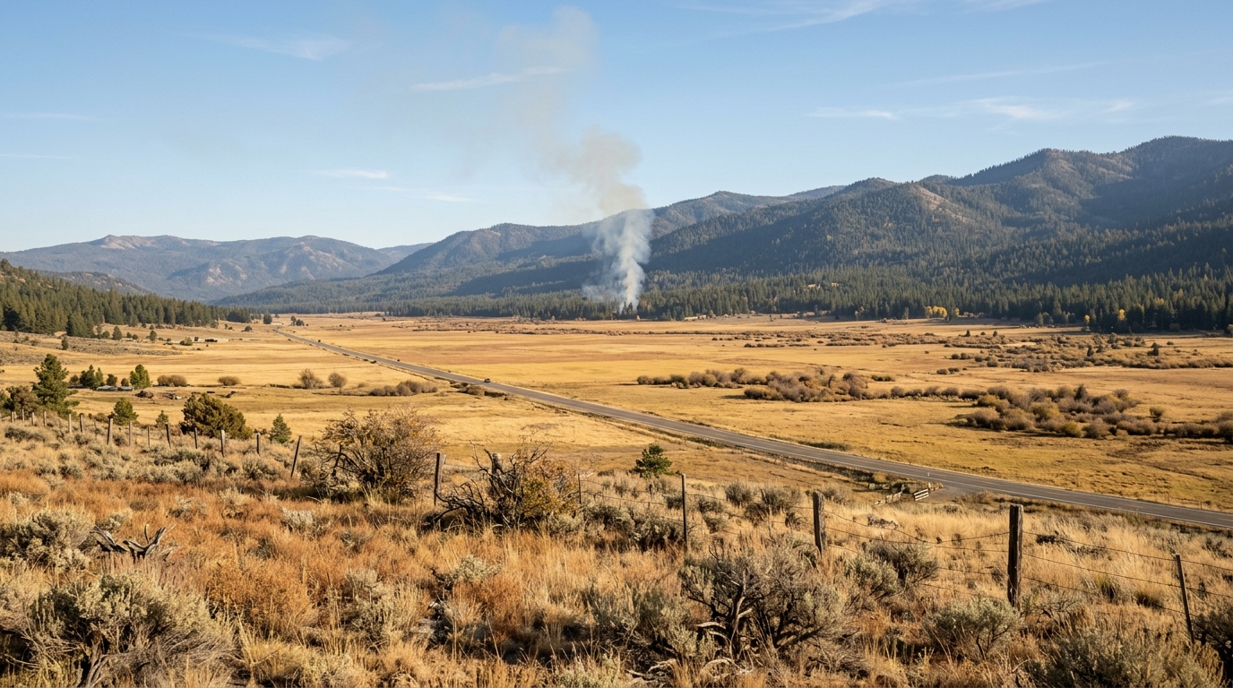
The Sierra County prescribed burns 2026 are an important fall update for residents and visitors. Tahoe National Forest has announced several planned prescribed-fire projects that may begin as early as October 1.
Some of the largest projects are within the Sierraville Ranger District. This district includes parts of Sierra, Nevada, and Plumas counties. Planned work includes areas near Calpine, Sattley, Little Truckee Summit, and roads near Randolph.
Smoke may become visible even when a burn site is not directly beside your route. That matters for drivers, hikers, birders, campers, and anyone planning a fall trip through Sierra Valley or along Highway 89.
Prescribed fire is different from an uncontrolled wildfire. Crews plan these burns in advance and only proceed when weather, fuel moisture, staffing, and smoke conditions meet the burn plan.
This guide explains where fall burning may occur, what travelers could notice, and how to keep a Sierra County trip flexible when smoke or fire crews affect the day.
Where Sierra County Prescribed Burns 2026 May Affect Travel
Tahoe National Forest plans several fall and winter prescribed-fire projects across its ranger districts. The Sierraville Ranger District has some of the most relevant projects for Sierra County travelers.
These operations can include underburning and pile burning. An underburn uses low-intensity fire across the forest floor. Pile burning focuses on cut branches, brush, and other vegetation gathered during earlier fuel-reduction work.
The Forest Service may change a planned ignition date at short notice. Wind, humidity, temperature, vegetation moisture, and smoke movement all play a role.
That means a project listed for fall does not guarantee visible fire on a specific day.
Calpine, Sattley and the Highway 89 Corridor
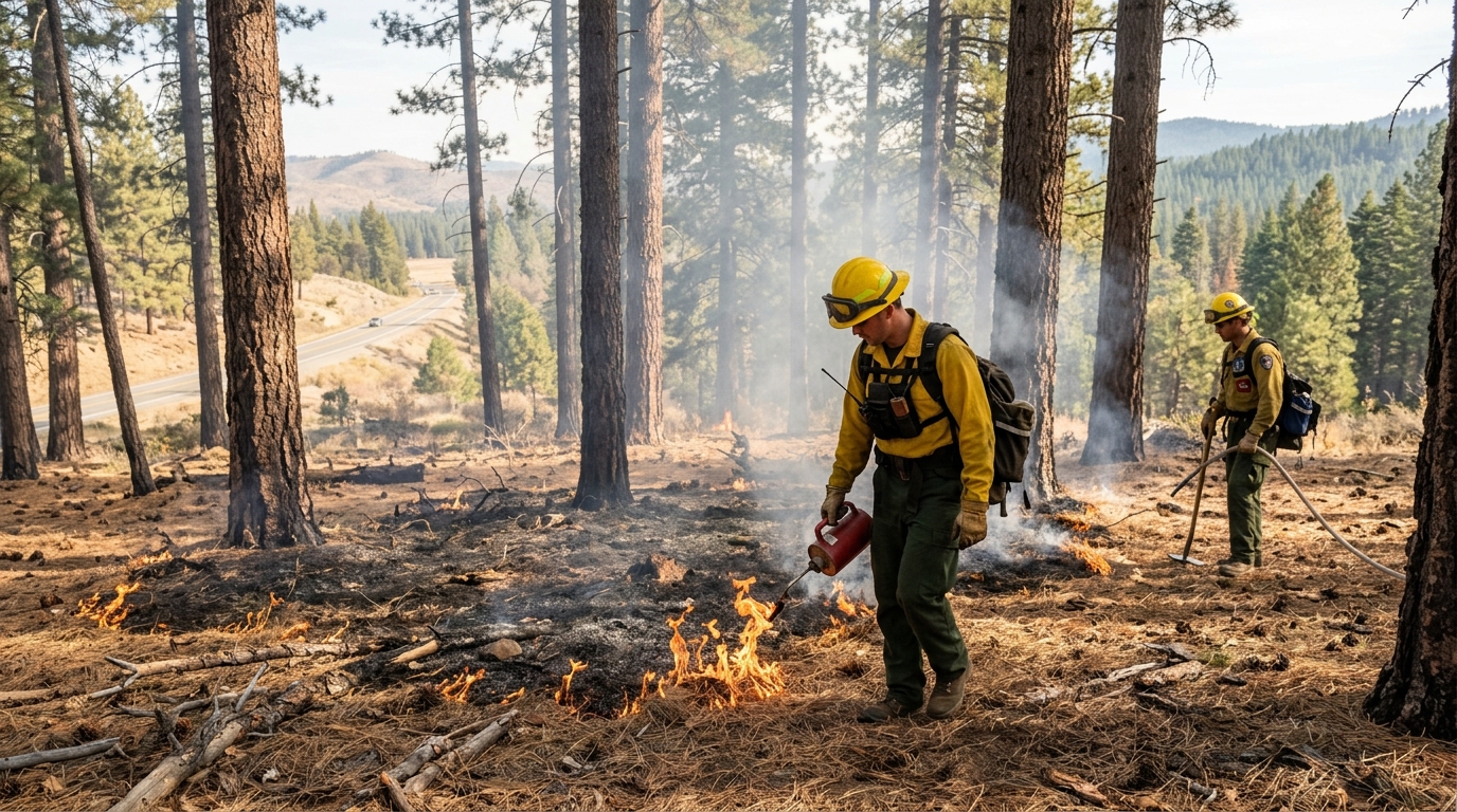
The largest announced Sierraville Ranger District project is near Calpine and Sattley. Tahoe National Forest lists up to 900 acres of underburning between Highway 89 and Forest Service Road 52 near the Mountain Quail Community.
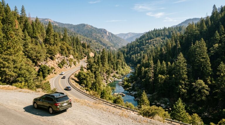
This area matters because Highway 89 is one of the main routes through eastern Sierra County. Drivers use it to connect Sierraville, Sattley, Sierra Valley, Truckee-area routes, and nearby forest lands.
Visible smoke may therefore affect a trip even when Highway 89 remains open. Wind can move smoke away from the actual burn unit and into nearby valleys.
Calpine and Sattley Travelers Should Expect Changing Smoke Conditions
Smoke conditions can change during the day. Morning air may trap smoke close to the ground. Afternoon warming and wind can then move it elsewhere.
Drivers should slow down when visibility drops. Use headlights when needed and increase the distance between vehicles.
Avoid stopping on the shoulder just to photograph a smoke column. Highway 89 carries local traffic, visitors, commercial vehicles, cyclists, and emergency crews.
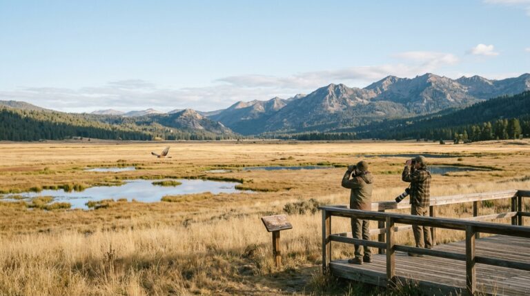
If you plan to explore Sierra Valley, keep the route flexible. Our Sierra Valley Fall Birding and Wildlife Road Trip Guide already explains how to build a trip around public access, changing weather, and limited services.
Smoke can also affect wildlife viewing. Distant birds may become harder to identify, and people with smoke sensitivity may need to shorten outdoor activities.
Little Truckee Summit and Roadside Fuel Projects May Also Be Active
Tahoe National Forest also lists up to 500 acres of underburning near Little Truckee Summit. The planned area sits west of Highway 89 and south of Forest Service Road 07.
Another project includes up to 40 acres of roadside hazardous-fuel work near the Randolph area. The district also lists up to 500 acres of additional pile burning.
Visitors should not assume every project will operate at the same time. Fire managers choose individual burn windows based on conditions.
Roadside work can be especially noticeable because crews, engines, signs, and smoke may appear close to travel routes. Slow down when approaching agency vehicles.
Do not enter a signed burn area for photography, hiking, or sightseeing. Even a low-intensity prescribed fire requires space for crews and equipment.
The broader Tahoe National Forest announcement also lists projects in the Truckee and Yuba River ranger districts. Those districts span several counties, including parts of Sierra County, so travelers may see smoke from operations outside the immediate Sierraville area.
What Prescribed Fire Means for Forest Health and Wildfire Risk
Prescribed fire removes some of the vegetation that can feed a future wildfire. Pine needles, small trees, brush, branches, and other fuels can build up over time.
Managers use carefully planned fire to reduce part of that material under safer conditions. The goal is not to remove every plant or make the forest fireproof.
Instead, treatment can lower fuel levels and help firefighters work more safely if a wildfire later reaches the same area.
The Forest Service also uses prescribed fire to support forest health and protect nearby communities and infrastructure.
Smoke Can Continue After Active Ignition Ends
A burn does not stop producing smoke the moment crews finish lighting it. Logs, stumps, and deeper fuel can continue to smolder.
As a result, visitors may see or smell smoke for several days after the main operation.
Low areas can collect smoke at night and during cold mornings. That pattern can be especially noticeable in mountain valleys.
Seeing smoke after dark does not automatically mean the prescribed fire escaped control. Still, travelers should never guess when safety is involved.
If smoke appears heavy or you see active emergency traffic, check current Forest Service, county, and fire information before continuing.
Our Sierra County Wildfire Preparedness Guide explains the difference between routine planning and an actual emergency. It also covers county alerts, evacuation information, and household preparation.
How to Plan a Sierra County Trip During Prescribed Fire Season
Prescribed burning does not mean travelers need to cancel every fall trip. The better approach is to avoid building a rigid schedule.
Choose one main destination and at least one backup option. Then check conditions before leaving.
A clear morning in Sierra Valley may work well for birding. A smoky afternoon might be better for a shorter community stop or a drive in another direction.
Western Sierra County can also have different conditions from the east. Downieville and Sierra City sit in forested North Yuba country, while Loyalton and Sierraville open into the broader Sierra Valley landscape.
Build a Flexible Route Around Smoke, Weather and Shorter Daylight
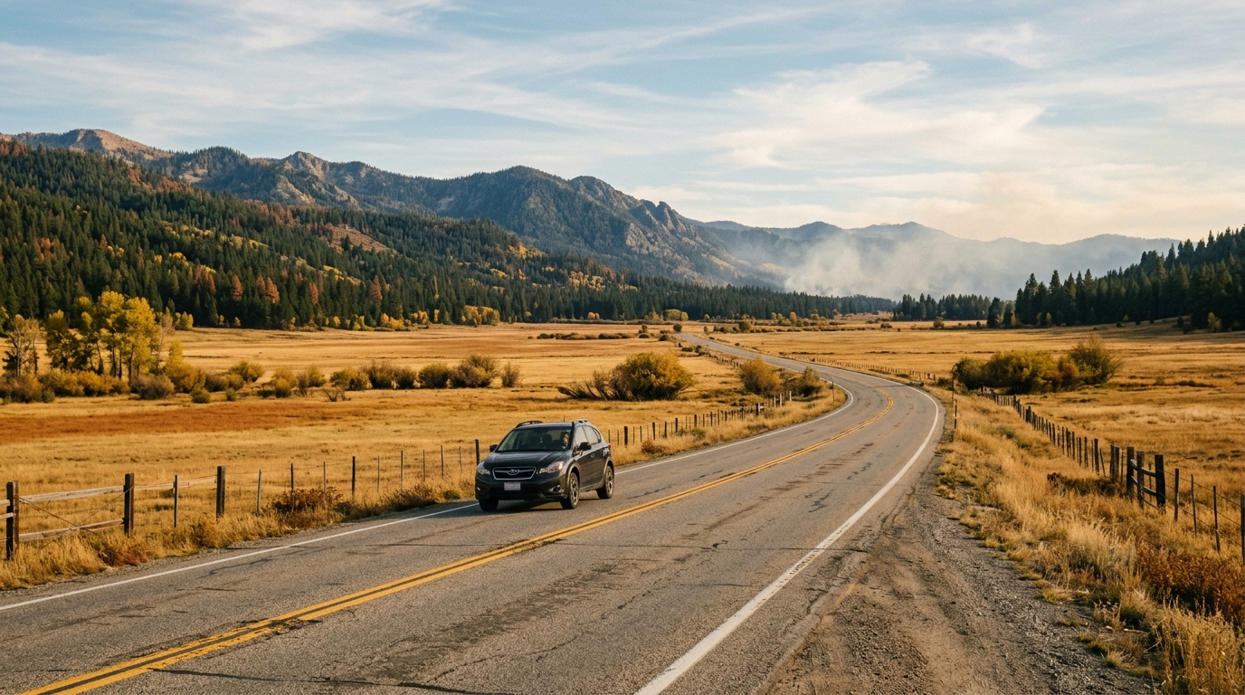
Fall brings more than prescribed fire. Daylight becomes shorter, nighttime temperatures fall, and early storms can affect higher roads.
Start the day by checking the latest weather and forest information. Then confirm road conditions if your route includes a mountain pass.
Travelers using Highway 49 should review our Highway 49 Sierra County Road Trip Guide. The road follows steep canyon terrain before climbing through Sierra City toward Yuba Pass.
That route can feel very different when smoke, rain, or early-season snow arrives.
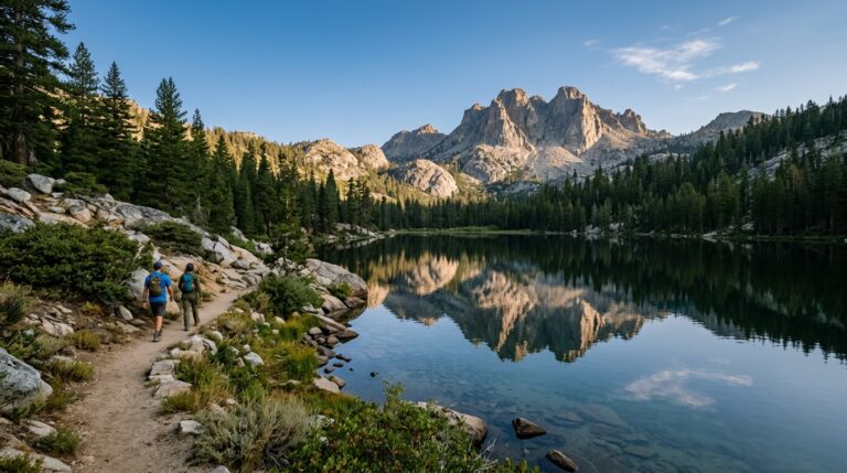
High-country visitors can also use the Sierra City and Lakes Basin Guide for trail, lake, campground, and responsible-travel information. However, many seasonal services begin changing as fall progresses.
Practical Checks Before Leaving Downieville, Sierra City or Sierra Valley
Check the Tahoe National Forest prescribed-fire notice first. Then look at the weather for the exact part of Sierra County you plan to visit.
Review Caltrans conditions when using Highway 49 or Highway 89. Mountain roads can change quickly after storms.
Fill the fuel tank before heading into remote areas. Small communities may have limited hours or fewer services than larger towns.
Download maps while you still have reliable mobile service. Do not treat an app’s suggested forest road as proof that the road is open or suitable for your vehicle.
Carry water, snacks, warm layers, basic first aid, and a flashlight. A comfortable afternoon can turn cold after sunset.
People with asthma or other smoke sensitivities should check current air quality before committing to a long hike.
Never cross a closure or drive into an active burn area. If a route becomes uncomfortable because of smoke, turn around at a safe location.
Prescribed fire also does not mean normal fire rules no longer matter. Campfire, stove, smoking, and other restrictions can follow separate Forest Service or fire-agency orders.
The Sierra County prescribed burns 2026 are part of a wider effort to reduce hazardous vegetation and improve forest resilience. The most notable eastern Sierra County projects include planned work around Calpine, Sattley, Little Truckee Summit, and nearby forest roads.
For visitors, smoke will often be the most visible effect. It may change views, air quality, and driving conditions without closing an entire region.
The best response is flexibility. Check current conditions, choose realistic destinations, keep a backup plan, and give fire crews plenty of space.
Sierra County remains an excellent fall destination for scenic drives, wildlife viewing, mountain towns, and quieter outdoor trips. A changing burn schedule simply means travelers should let current conditions decide the final route.
For current ignition plans and official updates, review the Tahoe National Forest fall 2026 prescribed fire announcement before traveling.