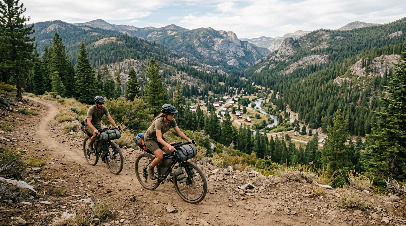
The Lost Sierra Route has attracted attention as an ambitious trail vision linking small mountain communities across Northern California and western Nevada. For Sierra County, the idea is especially significant because Downieville, Sierra City, Sierraville, and Loyalton are positioned along or near proposed regional connections. The project could eventually make it easier for hikers, mountain bikers, equestrians, and some motorized trail users to travel between communities while supporting local lodging, restaurants, shops, guides, and visitor services.
However, the Lost Sierra Route should not be described as one finished 527-mile trail that visitors can already follow from beginning to end. Sierra Buttes Trail Stewardship, the nonprofit leading the Connected Communities vision, states that much of the proposed network remains in environmental review and construction. Existing roads, trails, and suggested multi-day routes can provide a similar experience today, but those alternatives are not identical to the future signature route.
This distinction matters for trip planning, public expectations, and environmental accuracy. A conceptual line on a master-plan map is not necessarily an approved trail, a maintained route, or a legal public connection. Before traveling, review the official Connected Communities Routes page, check current land-manager information, and use this website’s Road and Seasonal Conditions guide.
What the Lost Sierra Route Is—and What It Is Not
Connected Communities is a community-driven regional planning effort intended to link rural towns through recreation. The broader project spans multiple counties, national forests, public-land jurisdictions, landscapes, and ancestral homelands. Its proposed signature journey is called the Lost Sierra Route.
The project is not limited to recreation alone. Its planning documents also consider trailheads, community access, long-term maintenance, environmental protection, cultural resources, forest restoration, and potential economic benefits for towns affected by changes in mining, timber, and other traditional industries.
A 527-Mile Vision, Not One Continuous Finished Trail
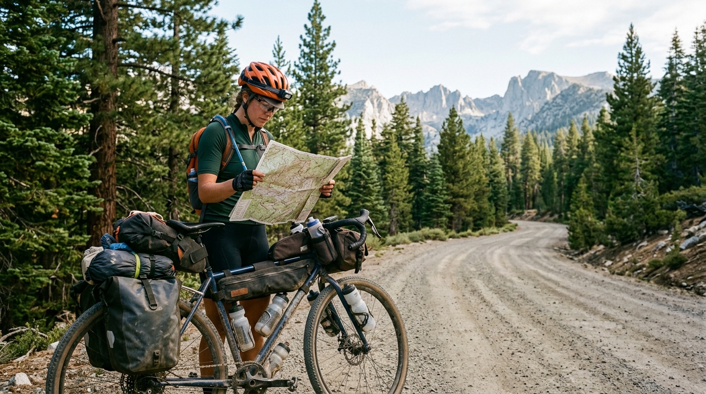
The current project description calls for a 527-mile multi-use singletrack network connecting 15 mountain communities. That number represents a long-term regional vision. It should not be interpreted as 527 miles of newly completed, signed, and continuously maintained trail.
Some areas already have established recreation networks. Other sections may use existing trails or roads. Some proposed connections still require route studies, field surveys, public review, agency decisions, funding, construction, and future maintenance. A route can therefore appear in planning materials while remaining unavailable for public use.
Four Phases Determine Whether a Segment Becomes Real
Sierra Buttes Trail Stewardship organizes the project into four broad phases: planning, environmental review, construction, and maintenance. Planning identifies possible corridors and community needs. Environmental review examines wildlife, water, soils, cultural resources, user conflicts, private-property concerns, and other potential effects under applicable state or federal requirements.
Only after an authorized land manager approves a project can construction move forward. Even then, funding, seasonal work windows, fire conditions, crew availability, and technical challenges can affect the schedule. Completed trails also require drainage work, vegetation management, signage, repairs, and recurring maintenance.
These phases are why terms such as proposed, funded, approved, under review, under construction, and completed cannot be used interchangeably. A planning grant does not automatically authorize trail construction. A conceptual corridor is not an open route. A completed environmental document does not guarantee that every alternative will be selected.
Existing Trails Are Different From “Ride Now” Routes
Visitors can already explore portions of the Lost Sierra region using established public roads, forest routes, and existing trails. Sierra Buttes Trail Stewardship publishes maps and downloadable route files intended to help visitors create town-to-town adventures before the proposed singletrack network is complete.
One example is the approximately 250-mile Lost Sierra Loop, a self-supported bikepacking itinerary using a mixture of paved roads, Forest Service roads, and optional existing trails. It passes through or near several regional communities and landscapes, but it is an independent route inspired by Connected Communities rather than the completed Lost Sierra Route.
Travelers should not assume every suggested route is easy, fully signed, or appropriate for all seasons. Long-distance itineraries can include high passes, rough roads, river canyons, limited water, livestock, wildfire damage, snow, heat, and stretches without dependable mobile service. Route files are planning aids, not guarantees of access or safety.
What the Project Could Mean for Sierra County Communities
Sierra County sits near the geographic heart of the concept. The county’s western trail culture, high-country recreation, historic communities, and eastern valley landscapes create several distinct opportunities. Yet the status of each area must be discussed separately.
Downieville, Sierra City, and the Western Trail Network
Downieville already has an extensive and internationally recognized trail network. Sierra Buttes Trail Stewardship reports that its professional trail crew maintains roughly 120 miles in the area annually in partnership with Tahoe National Forest. Existing trails support mountain biking, hiking, events, guiding, shuttle services, and local businesses.
That existing network does not mean every proposed Connected Communities link is complete. One significant project is the Mexican Mine Trail connection involving Downieville, Goodyears Bar, and Forest City. Funding was announced for work intended to complete the final ten miles of that connection, but visitors should verify current construction and opening information before treating the full corridor as available.
Sierra City provides another important pathway. It sits near Sierra Buttes, Lakes Basin, the Pacific Crest Trail, and existing high-country recreation routes. Future town-to-town connections could help travelers combine Sierra City with Downieville and other communities without treating each destination as an isolated trailhead.
Explore the Downieville community guide, Sierra City guide, and Parks and Outdoors hub for established visitor information. These pages should remain focused on currently accessible places rather than presenting conceptual trails as completed attractions.
Loyalton, Sierraville, and Sierra Valley Planning
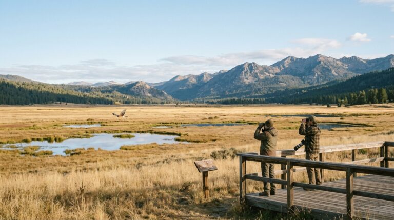
Eastern Sierra County has a different landscape and recreation identity. Loyalton and Sierraville sit near Sierra Valley’s open grasslands, ranch properties, wetlands, forest edges, and regional road connections. Proposed trail planning there is intended to connect communities while linking to other recreation systems farther south and east.
The Sierra Valley Recreation Project received nearly $800,000 in state planning support for environmental work associated with approximately 63 miles of proposed trails and the evaluation of three trailheads. Published planning material described potential links involving Loyalton, Sierraville, the East Zone Connectivity Project, and routes toward the Truckee area.
An earlier project timeline aimed to make the proposal ready for construction decisions in 2026. That target should not be rewritten as proof that construction is underway. A current signed decision, final route approval, construction notice, or opening announcement should be located before publishing any claim that visitors can use the proposed network.
The environmental process is also expected to determine which sections may be motorized or non-motorized. Until those designations are finalized, visitors should follow the rules for each existing road or trail rather than relying on the future project’s description as “multi-use.” Learn more about the eastern county through the Loyalton guide and Sierraville guide.
How to Explore the Lost Sierra Responsibly Right Now
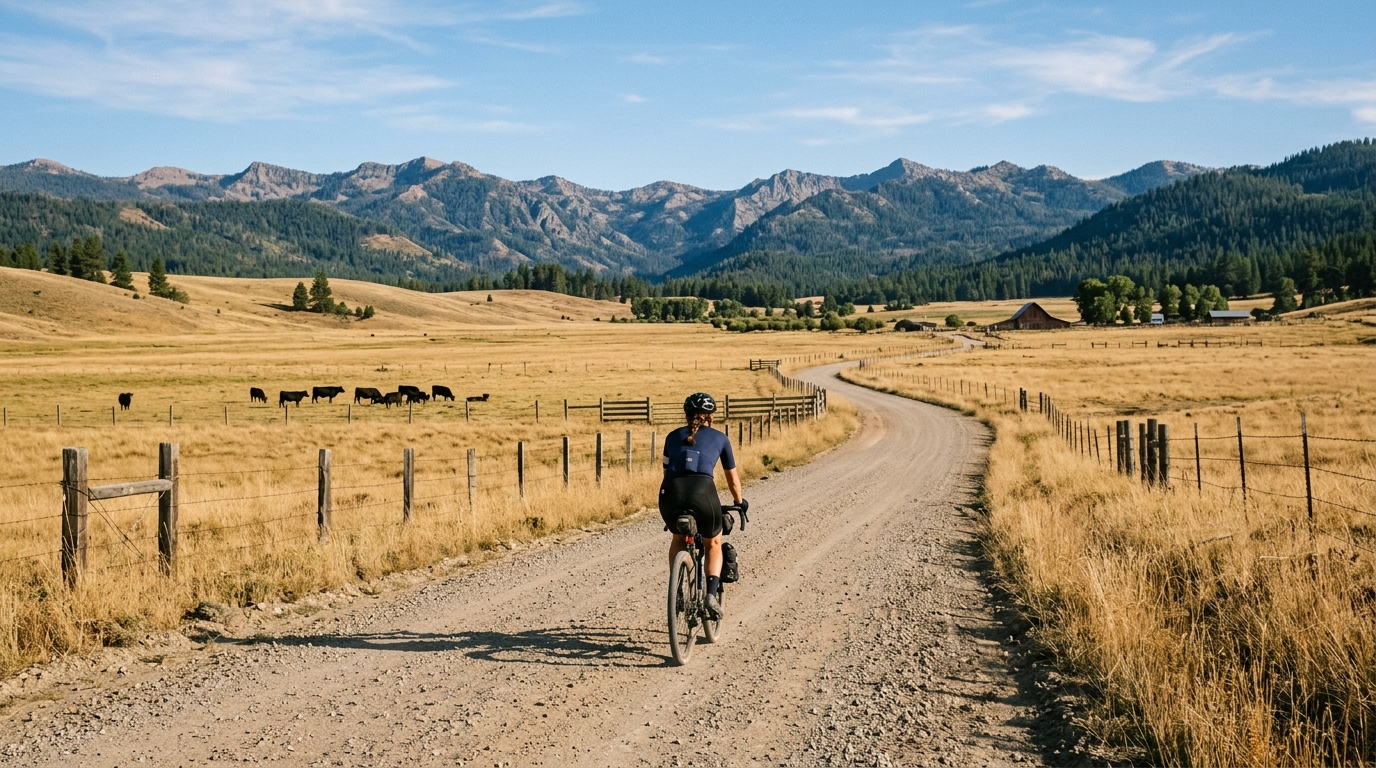
The best way to experience the Connected Communities idea today is to plan around routes that are confirmed open. Choose an established trail network, a published existing-road itinerary, or a shorter town-based trip. Do not attempt to connect conceptual map lines across closed land, private property, unsigned terrain, or routes that have not been authorized for public use.
Use Current Maps, Conditions, and Realistic Skill Assessments
Download official route files before departure, but compare them with current Forest Service maps, closure notices, weather forecasts, and local road information. Wildfire, snow, storm damage, logging operations, trail work, fallen trees, and seasonal gates can change access after a route file was published.
Sierra County warns travelers not to rely solely on GPS, especially during winter. Digital mapping applications may suggest remote roads that are unmaintained, snow-covered, gated, washed out, or unsuitable for the vehicle. Remain on approved routes and never bypass a closure because another application displays the road as open.
Long-distance users should carry offline navigation, water treatment, food, layers, repair equipment, lights, first-aid supplies, emergency communication, and enough capacity to manage an unexpected delay. Tell someone the route, direction of travel, expected stops, and return time. Group members should agree in advance about turnaround conditions.
Respect different trail users. Slow down near hikers and equestrians, announce your presence calmly, follow motorized-use designations, control dogs, and avoid damaging wet trails. Do not enter private driveways, ranch land, railroad property, restoration areas, or construction zones unless public access is clearly authorized.
Town-to-town
Town-to-town recreation can benefit small communities only when visitors act responsibly. Use local lodging, restaurants, stores, bike services, and guides where available. Avoid overwhelming small businesses with unrealistic expectations, and confirm seasonal hours before depending on one location for critical food or supplies. Browse the Outdoor Recreation directory and Visitor Services directory when planning stops.
The Lost Sierra Route is compelling because it imagines trails as connections between landscapes and living communities. Its long-term potential is substantial, but accuracy is more useful than hype. Some trail systems are operating now, some connections are being developed, and others remain proposed or under environmental review.
Plan around what is confirmed open, monitor official updates, and treat the master plan as a vision rather than a finished navigation product. For additional trip preparation, use the Getting Around guide, Responsible Travel page, and Sierra County Trip Planning hub.